Statista conducted a survey with adults of all ages which revealed that 55% of people aged 30-49 years, 54% to Millenials (18-29 years old), and, surprisingly 53% of 50-64 years old people prefer using GPS apps over an old good fashion map.
Drivers use online and offline GPS navigators to get real-time traffic alerts, to find the fastest way to a location, and to avoid getting lost. The feature to detect your location has been applied to nearly all mobile applications, from dating apps to travel apps to gaming apps. In this article, we will delve into the types of apps that have GPS features, what technologies are used to develop them, and provide you with a detailed step-by-step guide on how to make an app with GPS.
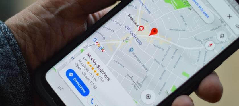
What Types of Apps Use GPS Features?
According to the MarketsandMarkets report, by the year 2024, the revenues generated from the location-based applications will hit $40 billion. Even apps that you never expected to have this feature are now facilitating advanced user experiences using GPS-trackers. From food ordering apps to job-searching platforms, let’s see what types of apps on the market use GPS features.
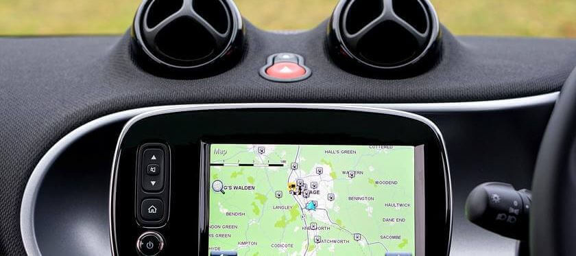
Retail Industry Applications
American’s largest retail companies like Walmart, Costco, and Target use geolocation tracking features in their applications to increase sales and improve customer experience. The GPS data allows them to show the supermarkets nearby, generate available and special offers, and send notifications, thus keeping customers constantly informed. Moreover, Target, Amazon, iHerb, and other retailers have home delivery and international shipping options. GPS radars detect the users’ location and ask for approval to be delivered to this address. Food delivery services also fall into the category of retailers. According to a Statista report, in 2020, online food delivery applications generated around $27 million. The applications allow users to find the desired cuisine or particular restaurant and track their order delivery in real-time.
On-Demand Platforms
One of the most recognized on-demand services is a taxi, in particular Uber. As soon as you request a car, the application detects available drivers nearby based on the user’s geotag. They can easily see where the driver is, how much time until arrival, and estimated travel time. Uber is not only useful for the user but also provides considerable assistance to the driver. The mobile application generates the fastest route and helps the driver to avoid traffic by using satellite data.
Games and AR Applications
In 2016, Sony Computer Entertainment company claimed that the revenues from online gaming reached $7.8 billion. Users can either download the games on their mobile devices (Android, iOS, and Windows operating systems) or PCs. The key benefit of using the GEO tracker in the game industry is that it allows players to find other gamers nearby or across the world to play with in real-time. App owners can also analyze where their users are located, using the data to improve their marketing strategy and enrich their audience, thus guaranteeing more sales and revenues.
Geosocial Applications
Social media has become an inevitable part of people’s lives around the globe. In 2019, 2.95 billion users spent a considerable amount of their time on social media platforms. This number is predicted to grow up to 3.43 billion by the year 2023. Facebook identifies the user’s location and offers exhibitions, concerts, fairs, and other events nearby. Foursquare allows users to find places to eat, leave feedback, and check-in to a location to meet up with friends. Dating apps will find you a perfect match with a person located nearby.
Technologies Used to Build a GPS App
Developers across the world use a wide-range of technologies to create software for location-based applications. Each of these technologies has its unique purposes, benefits, and drawbacks. So let’s review the details.
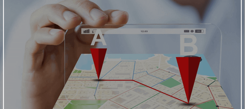
GPS stands for Global Positions System and “takes” information from currently visible satellites to display your location. The system accurately calculates the coordinates and identifies where are you situated. Since these days the sky is full of satellites, the location can be detected no matter where you are: remote island or deep in the forest.
Cell-ID. This technology allows the app to “read” the information from the local cell towers. The speed of data display depends on the number of devices used in the area by this tower. The mobile operator is responsible for providing a reliable and working radio signal to guarantee the excellent performance of the app. This technology actually has more drawbacks and is less used by developers since cell phone coverage can sometimes be really weak outside of densely populated areas.
A-GPS (Assisted GPS). This technology is the integration of the two technologies (GPS and Cell-ID) mentioned above. In combination, they provide highly-accurate data compared to being operating separately. So if you want to increase the accuracy of your GPS navigation, consider applying both of these technologies.
Geofencing. This technology refers to a GPS system and determines the closeness of a user to a particular location. It is mainly applied in the advertising industry to show users ads for local services and goods. You have probably noticed that when you travel to another country, as soon as you land and switch on your cellular data, you get the ads and offers of the local country.
iBeacon and Eddystone. These are two technologies developed by Apple and Google that operate based on Bluetooth Low Energy signals. The key benefit of these two tools is that they have highly accurate features for indoor navigation. However, it should be noted that they only work in addition to the core functionality.
Basic Features for Your Future Geolocation App
As we discussed earlier, GPS-based applications are presented in a variety of industries to considerably ease the services for consumers. You can create a GPS tracking app for Android or iOS to cover the needs of your users, but the key focus should lie on the features of your geolocation app.
Map Integration
This feature is a perfect solution for GPS navigators in cars, transportation, and travel apps. The best way to apply this feature is to make it available in the offline mode, so that the user can use the application when they don’t have access to the Internet. Dating apps also actively integrate map features to show the exact location of a person with which you are matched.
Location Tracking
This is another useful feature that is mainly applied in apps to track cab arrival, order shipping, and help manufacturing companies identify the GPS coordinates for the delivery of crucial materials and goods. The location tracking feature can also store information in the database, which can be useful when traveling. If you travel someplace then visit it again, you will easily be able to relocate popular places where you stayed or dined.
GPS Coordinates for Fitness and Health Applications
Fitness tracking applications have been gaining lots of popularity. They allow people who enjoy running, swimming, or cycling to easily track the distance and intensity of their physical activities. Moreover, if you take pictures while cycling or running, the application will recognize the exact location of where the photo was taken and will insert it in the map.
Voice Guide
This is a useful feature for drivers to track their route without getting distracted from the road to look at their phone screen. The navigator tells where to turn, indicates the number of meters before a turn, and informs on car accidents ahead. If a driver misses a turn, the system automatically builds a new route and tells the driver how to get back on track.
How to Create a Location-Based App (Step-By-Step)
Now that you have a basic understanding of what a GPS-based app is and why people admire them, let’s see what steps are used for their preparation and development.
Step #1 Project set up
After you come up with an idea to create a GPS-based application, the project will require thorough and detailed planning. This should include such things as what tech stack will be used, what’s the timetable and date of release, requirements, team members, and other crucial aspects. Regarding the tech stack, 42% of the world’s developers consider React Native as the most admired and convenient framework for developing mobile applications. In fact, most of Java’s frameworks are used in app design as they are highly secure, have excellent memory management features, and are constantly upgraded, allowing developers to keep up with the latest savvy technologies. In order to incorporate GPS features into the app, engineers heavily rely on Google Maps SDL or OpenStreetMap.
Step #2 Start with GPS application MVP
Minimum Variable Product is aimed at running a test development process of your business idea involving minimum expenses. Such a strategy might show you potential drawbacks that can appear, demonstrate an accurate budget for developing an outstanding app, and provide feedback from users on what is missing and needs to be added.
Step #3 Decide on the features for your future app
If you go back to the previous section of the article, you will see a list of features that might enrich your application and give more opportunities to your customers. For instance, GPS maps might save every route that drivers take. So if they decide to go to the place again, the system will offer those saved options.
It is quite typical that GPS-driven applications tend to consume the battery really fast since the phone remains in active use while you are using the app. With this in mind, many users open the app only to see the route and then simply switch it off. Giving your users an opportunity for battery-saving mode will increase your chances of attracting more clients and remain competitive on the market.
Step #4 Create an attractive but simple UI/UX design
The creation of a functional and easy-to-use navigation system is very important in GPS Android app development. A user should not get confused while looking for buttons and search lines. Make sure you have a unique design that will provide your customers with an excellent experience.
Step #5 Build an in-house or dedicated development team
The core of your development project is a team of professional, experienced, and skilled IT specialists that will take care of the technical side of your app. Usually, you don’t need to hire a large team, a few great experts can be enough, namely a UI/UX designer, Web and Mobile Developers (1-3), QA specialists, and a project manager. If the business owner lacks technical knowledge and their budget allows hiring one extra member, consider using a CTO (Chief Technical Officer) who is responsible for the maintenance and control of all technical matters. Hiring remote employees will cost you considerably less while still bringing world-class quality of development.
Step #6 Promotion, ads, Search Engine Optimization
In order to start attracting potential during the development stage of the project, consider placing ads on the upcoming GPS-drive platform. Tell your target audience about its unique features, what exclusiveness they might obtain, and why they should choose your product among others. SEO is probably the most effective approach for getting users to come to you.
Step #7 Upgrade your app
Upgrading is needed for new features to be added and for the app to comply with upgrades done by the operating system (iOS, Android, or Windows).
KeyUA professionals not only create a location-based app to meet your business needs and keep up with the latest technologies but also creates marketing and SEO strategies to make sure your product will be noticed!
Contact UsWhat to Consider During GPS Tracking Application Development
There is no doubt that you want your future app to take a leading position on the list of top used GPS platforms. The following section will demonstrate the most crucial aspects to consider while developing the application.
No bugs, please. After the coding stage is completed, a team of QA engineers must dedicate no less than 100 hours for detecting any possible errors. Moreover, after the app is already in use and customers report on bugs, make sure you have specialists who can fix those promptly.
High speed of app performance. The faster your app runs, the better the chance that it will remain in users’ phones for the long-term. Also, the performance of your app should never undermine the performance of their devices (no fast draining of the battery, overheating, or smartphone resets).
UX/UI design. As we’ve already mentioned, do not neglect the creation of a unique and appealing interface for your application. People do care about how the app looks, where the buttons are placed, and how convenient it is to find what they are looking for.
Upgrade. As we mentioned in the previous section, adding new features or refreshing the layout of the app from time to time will not only inhale new life into your product but also show users that you are constantly working on improving their experience.
How Your Navigation App Can Compete With Waze
According to official Waze statistics, at the beginning of 2020, the app counted around 130 million users on a monthly basis. The app was developed by Israeli entrepreneurs and acquired by Google in 2013. Waze is now available in 185 countries, making it extremely challenging for newcomers to compete with them. However, despite its popularity, several cons of the Waze application provide the opportunity to invade the market and compete with this world reknown application.
Most Waze users claim that the app’s layout could be better. The thing is that in large cities, the application shows too much information on the screen: traffic, car accidents, route updates, police cars, road hazards, and other elements. As a result, the phone screen is full of icons making it hard to focus on navigating the route in the cluttered interface. With this in mind, it could be useful for icons to only appear at the user’s request; if they activate “show police traps” the app will show such, and if the button is inactive, this information won’t clutter the screen.
Another thing to consider is the number of ads popping up on the screen. In large public places, Waze displays an overwhelming number of ads - food nearby, new care openings, and other distracting elements. In order to protect your users from these annoying ads, make sure you integrate it naturally and appropriately.
Last but not least is the battery “eating” drawback. Waze has been cited by users as consuming too much phone energy over just a short period of time. This creates the inconvenience of users constantly needing to charge their device while the app is in use. So guarantee that your application will not affect any aspects of the phone’s performance.
How Much Does It Cost to Develop a GPS Application?
The costs for development will differ depending on the developers’ experience and skillset, project deadlines, and its complexity. Therefore, in this section, we will try to demonstrate the approximate costs of GPS application development and give you a comparison of salary rates in the US and Ukraine.

US | Ukraine | |
UI/UX Designer | $31-36/hr | $11-14/hr |
Back End Developer | $37-40/hr | $18-22/hr |
Front End Developer | $30-35/hr | $15-19/hr |
QA Engineer | $28-31/hr | $9-12/hr |
Project Manager | $59-74/hr | $27-30/hr |
As you can see from the table above, the average costs of hiring Ukrainian specialists are considerably lower than the average rates in the United States. This is one of the reasons why many large American corporations, SMEs, and startups tend to have their development team in Ukraine. Moreover, they prefer hiring developers in Ukraine due to the extremely high level of responsibility, loyalty, and quality of services they provide.
KeyUA has a tremendous choice of IT specialists with brilliant tech skills and rich experience in app development! Contact us to find out the amount of time and money needed to create your app.
Contact UsFAQ
We tried to cover the most demanding aspects of how to build a GPS tracker app, but if any concerns remain, read what frequently asked questions others ask.
Should I develop the app for one specific operating system?
Not necessarily. If you want to attract as many users as possible after releasing the app, you should introduce your platform to at least the two most widely used OSs.
Outsourcing seems strange. How can I be sure that my project will be completed in a timely manner? What about quality and team management?
Outsourced vendors usually update you during every stage of project execution. Prior to the collaboration, you sign a contract where you can indicate as many desired requirements as you want, including information on team management.
Should I create a cloud-based app?
For sure. Cloud-based technologies are driving the world, so if this option is included in your application, it will allow the user to reach it from any device with all the data preserved.
International or domestic market?
We would recommend you start by gaining recognition on the local market. You should establish a competitive position and start generating great revenues so that you will have the resources necessary to invade the world marketplace.
The Final Thoughts
With a brilliant business idea and proper planning, you can design a unique application that will easily compete with other well-known apps such as Waze. Now you know how much time and money it takes to make your product a reality. Considering all the possible features and market tendencies, your app can be simple in use but rich in functionality.
Analyzing, planning, coding, and testing - KeyUA professionals are ready to fulfill all development stages and deliver you high-quality services! Do not hesitate to jump-start your project!
Contact Us





 Unit 1505 124 City Road, London, United Kingdom, EC1V 2NX

Comments
Leave a comment